
Cape Coral boating itinerary for Gulf access, tours and routes
Cape Coral’s 647 mapped canal routes take an estimated 2 to 132 minutes to reach an open-water exit at a constant 5 mph, and half take 23 minutes or less. A Cape Coral boating itinerary for a week should build around that canal-to-open-water leg, then allow time for the destination, slow zones and the return trip.
If you’re planning a quick run from your dock to the Gulf, your canal route and starting point can make a real difference. These estimates are a useful planning baseline, but they don’t account for possible waits at boat locks or replace navigation with current charts and markers.
This guide will help you plan seven days on the water, from relaxed local cruising to longer outings toward Sanibel, Captiva, Pine Island Sound or Cayo Costa. You’ll also find practical timing considerations for sightseeing, dolphin watching and fishing-focused days, so you can choose a pace and destination that suit your group and the conditions.
Table of Contents
1. Travel time from Cape Coral canals to the Gulf
Reaching open water is only the first part of an island outing from Cape Coral. Total travel time also depends on your canal route, Gulf destination, slow zones, weather and time ashore. Plan the canal and open-water legs separately, and reserve time for the return journey.
Sanibel and Captiva offer barrier-island beaches, wildlife habitat and Gulf views. A Sanibel outing can focus on shoreline scenery, while Captiva and North Captiva generally call for a longer day and careful timing. Choose one main destination rather than trying to combine several islands with swimming, lunch and a full return trip.
Cayo Costa State Park has nine miles of undeveloped barrier-island shoreline. It’s a substantial open-water outing, so suitable boat conditions and a realistic turnaround time matter. Pine Island Sound offers a scenic route toward island stops, while Cabbage Key is a boat-access lunch destination where dock availability affects your plan.
Ten Thousand Islands trips suit visitors seeking remote beaches and shelling. Storm seasons substantially rearranged the area’s bottom in 2022, and it has continued shifting since. That makes current marine charts and markers more useful than a general route illustration. In Collier County, shell collectors may keep empty shells only; Florida’s state shell is the horse conch.
Florida boating requirements for visiting operators depend on the operator and vessel, so follow the applicable state rules and carry the safety equipment required for your boat. Don’t assume one licensing or age rule applies to every visitor without considering those details.
In Cape Coral and Matlacha Pass, use approved routes and follow applicable speed limits and other laws. Slow down where required, give manatees room and avoid seagrass. The Florida Department of Environmental Protection advises boaters to avoid shallow water and raise motors over seagrass in Pine Island Sound.
Anchoring or staying overnight near Cape Coral, Sanibel and Pine Island depends on your destination and available dock or anchoring arrangements. Cabbage Key’s dock availability can shape a lunch stop, while a remote beach such as Cayo Costa calls for a suitable day plan and a clear return time.
Before leaving, review marine weather, radar, wind direction, tides and the potential for afternoon storms. Account for slow zones, a meal stop, swimming time and a conservative turnaround point. At a beach or sandbar, keep clear of seagrass and wildlife, and secure your trash before heading back toward Cape Coral.
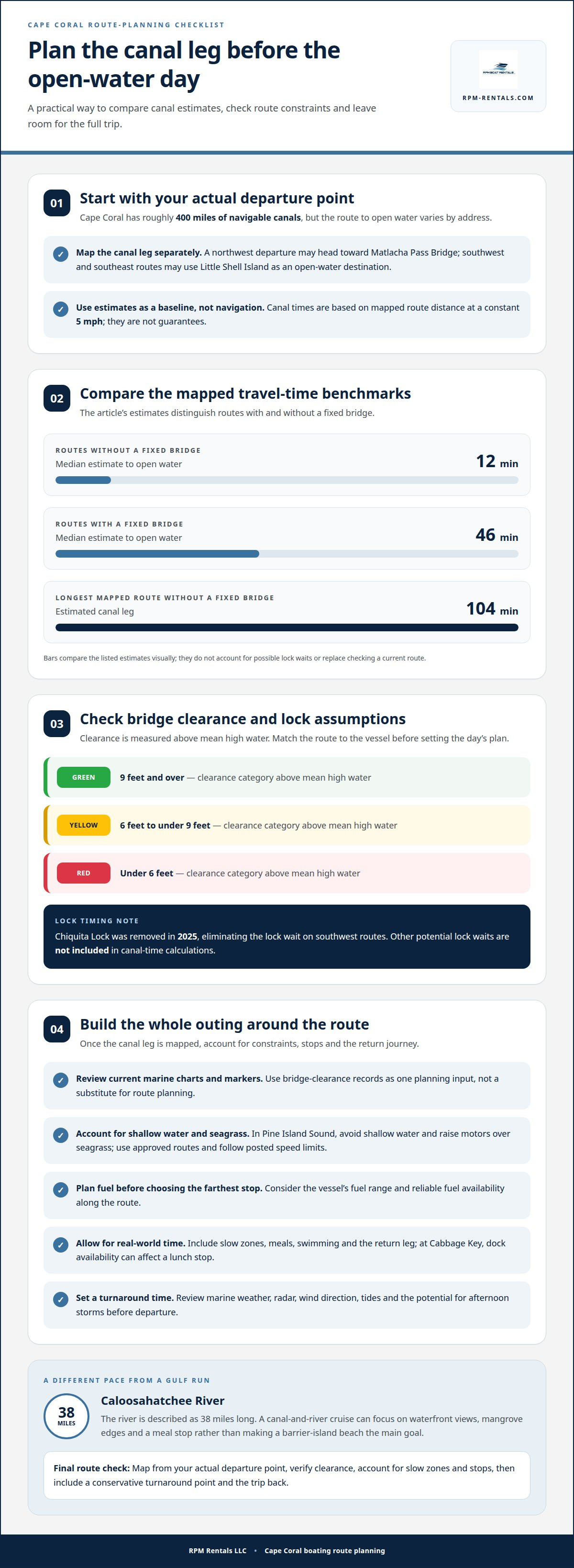
Estimated canal travel times to open water
Cape Coral has roughly 400 miles of navigable canals, but the route from a waterfront address varies. A northwest departure may head toward Matlacha Pass Bridge, while southwest and southeast routes may use Little Shell Island as an open-water destination. Treat the canal leg as its own part of the day, rather than assuming every address has the same Gulf access.
Canal travel estimates use mapped route distance and a constant 5 mph, so they’re planning baselines, not navigation guarantees. Routes without a fixed bridge have a median estimated travel time of 12 minutes to open water. The longest mapped route without a fixed bridge takes about 104 minutes. Routes with a fixed bridge have a median estimate of about 46 minutes.
Bridge clearance can shape which vessel can use a route. Cape Coral’s clearance categories are measured above mean high water: green indicates 9 feet and over, yellow indicates 6 feet to under 9 feet, and red indicates under 6 feet. The City removed Chiquita Lock in 2025, eliminating the lock wait on southwest routes. Other potential lock waits aren’t included in canal-time calculations.
Cabbage Key is a boat-access destination for lunch, but dock availability affects the plan. Fuel stops depend on your route, the vessel’s fuel range and reliable fuel availability along the way. Plan for them before choosing your farthest destination, rather than assuming a convenient fuel dock will be available mid-trip.
Shallow water and seagrass are important hazards around Pine Island Sound. The Florida Department of Environmental Protection advises boaters to avoid shallow water and raise motors when over seagrass. Use current marine charts and markers, stay on approved routes, and follow posted speed limits and other applicable rules. Cape Coral’s bridge-clearance records can help identify constraints, but a clearance category doesn’t replace route planning.
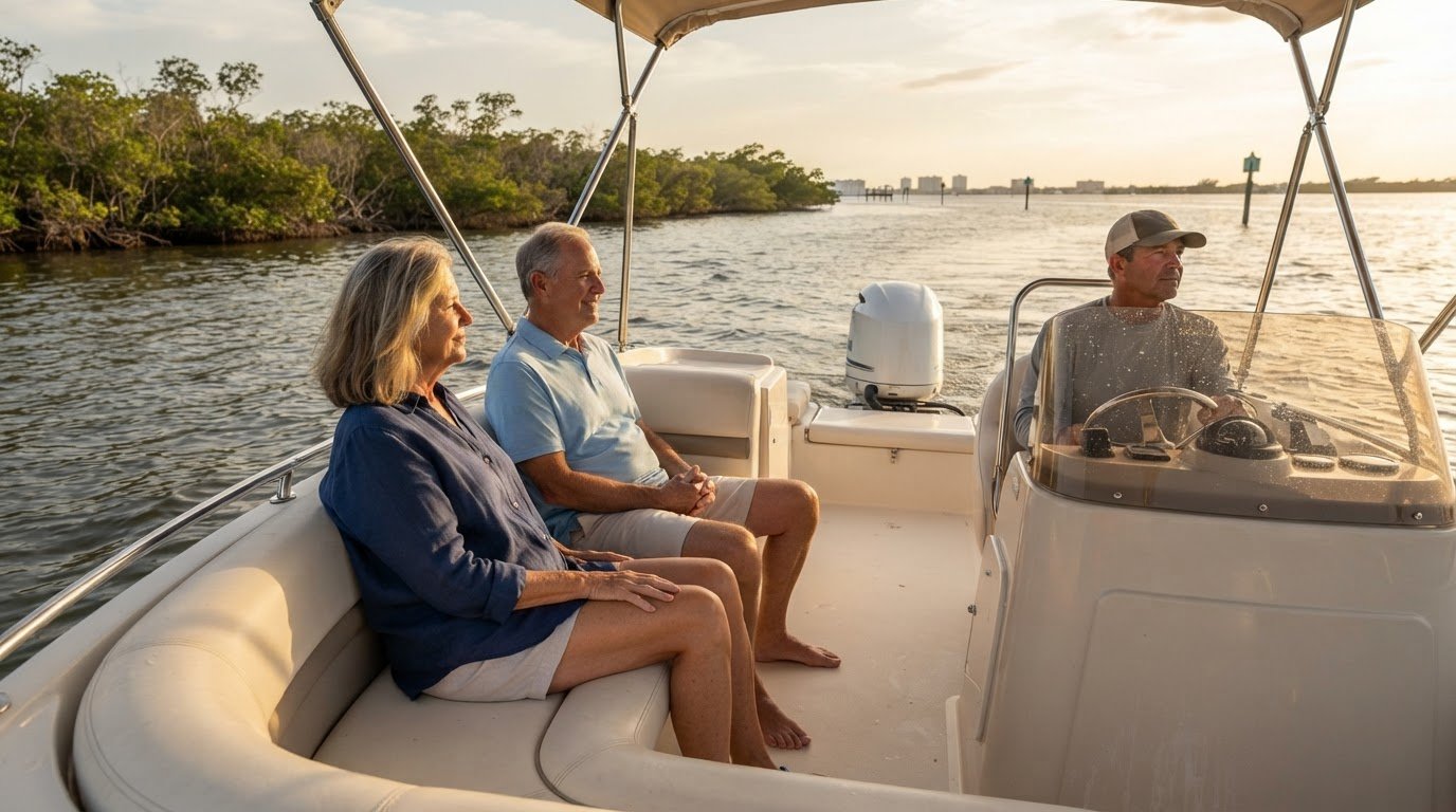
Canals and the Caloosahatchee River offer a different pace from a Gulf run. The river is described as 38 miles long, with fishing and paddling among its uses. A canal-and-river cruise can focus on waterfront views, mangrove edges and a meal stop, without making a barrier-island beach the day’s main goal.
For each outing, map the route from your actual departure point, account for bridge clearance and slow zones, then set a turnaround time. Include lunch, swimming and the return leg in your schedule. This makes it easier to compare a short Cape Coral cruise with a longer run into open water.
4. Cape Coral waterways and nearby boating destinations
Cape Coral offers more than a straight run toward Gulf beaches. Its canals, river access and nearby island routes let you match the day to your group’s pace. For a shorter outing, explore local waterways and plan a waterfront meal or protected swim stop. For a longer day, make Pine Island Sound your main route and choose one island destination.
Pine Island Sound is a 54,000-acre state Aquatic Preserve, with a scenic boating run and several possible stopping points near Pine Island. Treat the Sound as a destination in its own right, not just a corridor to cross. Pick a stop that fits your return window, and leave room to adjust if wind or weather changes.
For a wider island run, Boca Grande Pass and Big Hickory Pass mark practical northern and southern limits for a boating day from Cape Coral. These endpoints help set expectations: heading toward either pass takes more time than a local cruise. Choose one direction, then make your destination and return trip the day’s priorities.
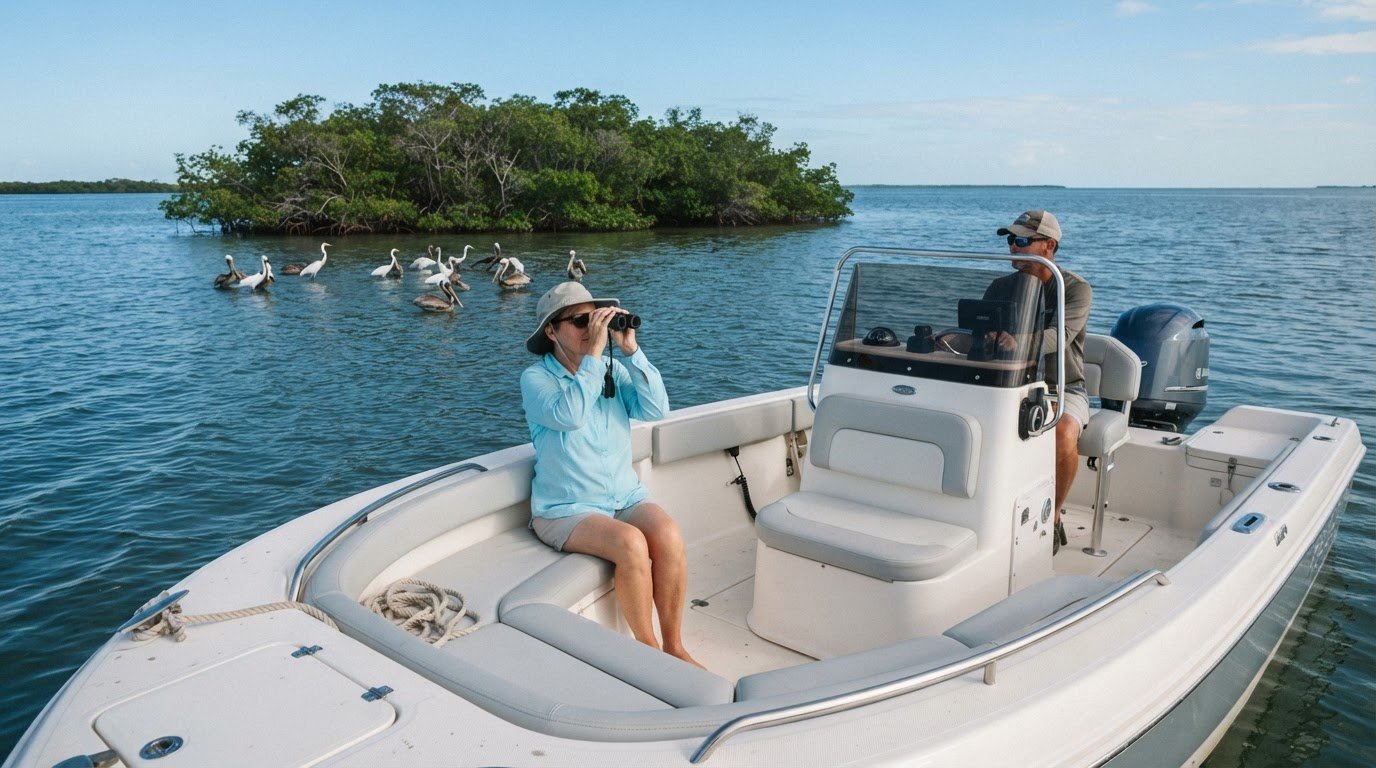
Wildlife can shape the experience without dictating your route. Tarpon appear in Pine Island Sound from spring into summer, while dolphins and manatees may be encountered around Southwest Florida waterways. Watch from a respectful distance, don’t pursue animals, and keep the crew focused on safe navigation rather than approaching wildlife.
For a relaxed day, cruise local waterways, make one waterfront stop, then reserve time for a protected swim and an early return. This plan suits groups looking for conversation and scenery more than a long open-water run. An outing toward Pine Island can add island views while keeping one clear destination in the plan.
Build the day around conditions, not a fixed list of stops. Before departure, review marine weather, radar, wind direction, tides and the potential for afternoon storms. On routes through Pine Island Sound, use current charts and markers. The Florida Department of Environmental Protection advises avoiding shallow water and raising motors over seagrass.
For a weeklong plan, vary the pace: spend one day on local waterways, another in Pine Island Sound and a separate day at a farther island destination. Center each trip on one main goal, such as a waterfront meal, wildlife viewing or beach time. This leaves room for changing conditions and a comfortable return to Cape Coral.
4. Which Cape Coral marinas offer boat rentals, fuel, and overnight docking?
For a Cape Coral boating plan, treat the rental, fuel and overnight docking as separate needs. A marina name alone doesn’t tell you which services are available or whether they suit your route. Start with your departure point, then plan fuel around the vessel’s range and docking around where you intend to finish the day.
That distinction matters on multi-day trips. A rental delivered to a waterfront residence or vacation property may suit a different itinerary than a departure from a marina. Match the boat’s drop-off and pick-up arrangements to your accommodation and canal route, then allow time to travel between the dock and open water.
Plan fuel for the whole route, not just the first leg. Write down your destinations, likely stops and return route, then identify where fuel is available along the way. The vessel’s fuel range and reliable fuel access determine how far you can comfortably travel before refueling. A lunch stop, island visit or weather adjustment can change the calculation.
Overnight docking depends on where you finish. A day trip to Pine Island Sound has different logistics from a longer run to an island destination. Decide on your overnight location before departure, and account for the return trip or the next day’s route. Don’t assume a lunch dock, marina or waterfront stop also offers overnight docking.
San Marco Marina in Goodland is a named boating destination, but Goodland is not in Cape Coral. The drive from Cape Coral to its dock is approximately 1 hour 20 minutes to 1 hour 45 minutes. That makes it a separate land-based option to consider, rather than a substitute for identifying departure, fuel and overnight arrangements within a Cape Coral itinerary.
Use this sequence to organize a marina-based day:
Set the departure point: Match it to your accommodation and intended canal route.
Map fuel needs: Use the boat’s range and planned stops to shape the route.
Plan the overnight: Make the day’s destination and return or onward leg clear.
For a full week, avoid moving the boat between unrelated plans each day. Group nearby destinations, include a shorter day on local waterways and leave room for weather changes. This makes marina logistics part of your itinerary rather than a last-minute detour.
5. Boating to Sanibel, Captiva, and Fort Myers Beach
Sanibel, Captiva, Fort Myers Beach and Cayo Costa each offer a different outing from Cape Coral. A boat can reach an anchored destination within an hour of leaving a dock, but that doesn’t mean every island takes the same time to reach. Your canal starting point, route, operating speed and destination all shape the trip. Plan the outward and return legs separately instead of treating an island name as a complete timetable.
Sanibel suits a day focused on shoreline views, wildlife habitat and Gulf scenery. Captiva and North Captiva are farther-reaching options for many Cape Coral itineraries and require careful timing. Choose one main destination, then allow time for slow zones, a beach stop and the return trip. Combining Sanibel and Captiva with a long lunch or swim can leave less room for changing conditions.
Fort Myers Beach can be a distinct destination for an outing focused on waterfront scenery and a break ashore. Travel time by boat depends on the route from your specific canal, not simply the distance from Cape Coral by road. Build your schedule around the marine route, planned stops and daylight, rather than using a driving estimate as a boating estimate.
Cayo Costa State Park offers a remote barrier-island experience and nine miles of undeveloped shoreline. Reaching it makes for a significant open-water day, depending on the boat and conditions. Pine Island Sound is a scenic route toward island stops, but time on the water can add up before you reach the beach. Make Cayo Costa your main destination, set a conservative turnaround time and include the full return leg.
For each destination, check marine weather, radar, wind direction, tides and the potential for afternoon storms before departure. Use current marine charts and markers to navigate; marketing maps aren’t navigation tools. Fuel range matters, especially on a longer run to Cayo Costa or Captiva. Plan fuel access along the route and allow enough time for slow zones, swimming and lunch.
Use a simple planning sequence for Sanibel, Captiva, Fort Myers Beach or Cayo Costa. First, map the canal route from your actual departure dock. Next, choose one destination and estimate time for the approach and stop. Then set a turnaround time based on conditions and your crew’s briefing. Leave flexibility in the plan, since wind, weather and tides can affect the day’s pace.
A weeklong Cape Coral itinerary can balance one longer island run with shorter outings closer to home. For example, set aside a dedicated day for Sanibel or Fort Myers Beach, then reserve another for local waterways. This gives each trip a clear purpose and avoids packing far-apart stops into one schedule. Check the marine forecast again before each departure.
RPM Rentals: Multi Day Boat Rentals
RPM Rentals LLC offers multi-day boat rentals for visitors planning several outings from a Cape Coral waterfront stay. Keeping a boat for multiple days can make it easier to enjoy local cruising and planned trips to nearby destinations throughout the week.
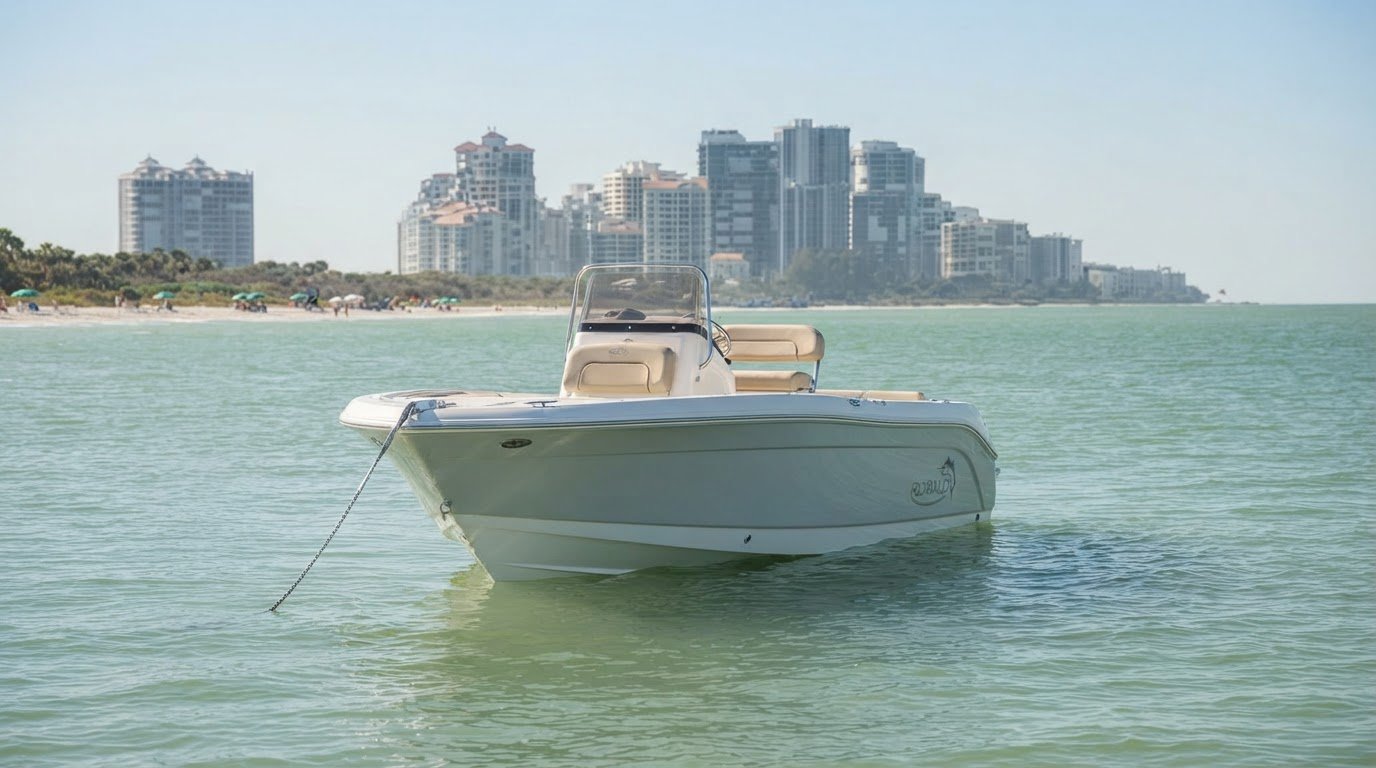
Choose from the Robalo R200 (21ft), Hurricane Sundeck (24ft) and Manitou Aurora LE 230 Tritoon (24 ft). Consider your group’s preferred pace and itinerary when deciding which vessel suits your plans. A week that mixes relaxed canal cruising with longer island outings benefits from having a boat available across multiple days.
Plan each route around canal travel, weather, fuel range and a comfortable return time. For multi-day boating plans in Cape Coral, contact RPM Rentals LLC to discuss your rental.
Make your week on the water your own
A Cape Coral boating itinerary for a week works best when each day has a clear purpose and room to enjoy it. Treat your Cape Coral boating itinerary for a week as a flexible framework, not a rigid schedule. Choose the experiences your group wants, then leave space to adjust for the crew and conditions. A well-planned Cape Coral boating itinerary for a week makes room for shared moments without turning every outing into a race between stops.
If you’re planning several days on the water, the right rental can help bring your plans together. RPM Rentals LLC offers multi-day rentals with vessel options for different ways to enjoy Southwest Florida’s waterways.
Ready to start shaping your trip? Contact RPM Rentals LLC to plan your boat trip. Set your preferred pace, choose the experiences that matter most, and look forward to time on the water.
Frequently Asked Questions
How long does it take to get from a Cape Coral canal to the Gulf?
Mapped canal routes estimate between 2 and 132 minutes to an open-water exit at a constant 5 mph. Half of the 647 routes reach open water in 23 minutes or less. Your departure canal matters: a home in northwest Cape Coral may take a different route than one in the southwest. Use the estimate to plan the canal portion, then allow additional time for your destination and return.
How long is the boat ride from your canal to open water?
The estimate depends on whether the route has a fixed bridge. Canal routes without a fixed bridge have a median estimated time of 12 minutes; routes with one have a median of about 46 minutes. The longest mapped route without a fixed bridge takes about 104 minutes. These estimates use a steady 5 mph, so actual progress depends on the route and operating conditions.
How long to the Gulf, and is direct gulf access always faster?
No. A route described as having direct Gulf access isn’t automatically the fastest for every boat or address. Fixed bridges can affect which route a vessel can take, and canal distance also changes the trip time. For example, the median estimate is 12 minutes for routes without fixed bridges, compared with about 46 minutes for routes with them. Compare the actual mapped route and vessel clearance.
What are the best boating routes and destinations from Cape Coral for a one-week itinerary?
Build the week around different kinds of outings instead of repeating long island runs. Combine a local canal or Caloosahatchee River cruise with a trip to Pine Island Sound, then choose one dedicated day for Sanibel, Captiva or Cayo Costa. Cabbage Key is a boat-access lunch destination. Keep each day focused on one main destination, with room for swimming, meals and the return route.
What are the tides, weather, and seasonal boating conditions in Cape Coral?
Review tides, wind direction, marine weather and radar before each departure from Cape Coral. Summer mornings can be calm, with afternoon thunderstorms developing later in the day, so plan exposed routes with the forecast in mind. Boating takes place year-round, and December to April is the commonly favored visiting season. Conditions change daily, so adjust your route and turnaround time to the current forecast.
What are the speed zones, no-wake areas, and navigation rules around Cape Coral and Matlacha Pass?
Use approved routes and follow posted speed limits and other applicable rules. Slow down where required, give manatees room, and avoid shallow water and seagrass. In Pine Island Sound, raise your motor over seagrass.
Where are the best waterfront restaurants and fuel stops accessible by boat near Cape Coral?
Cabbage Key is a boat-access lunch destination, though dock availability affects the plan. Plan fuel stops around your vessel’s range and reliable fuel availability along your route.
Comments